North America:1 (800) 942-7767
International:+1 (937) 778-4200
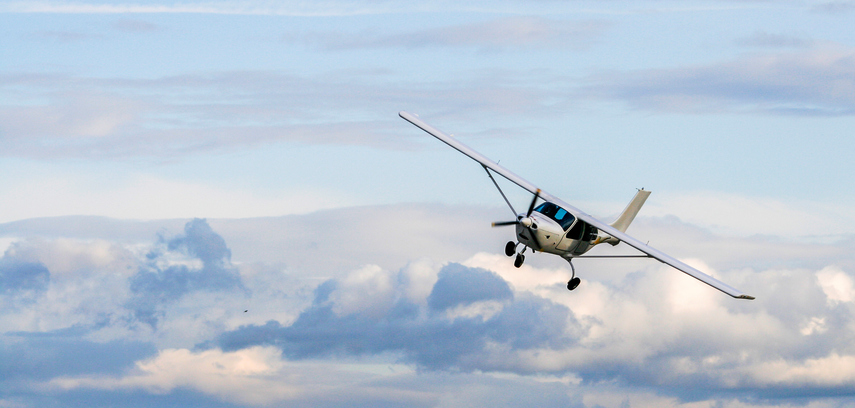

We all know that a basic comprehension of cloud types is a crucial aspect of a pilot’s aviation knowledge. As a pilot, you spend hours among the clouds–but a deeper understanding of the different types of clouds can help you gain a better picture of the factors affecting your flight before you even take off. Here’s a closer look at the cloud types and how to recognize them.
In 1802, a London businessman and amateur scientist created a system for naming the different types of clouds. He categorized clouds by height and appearance: flat clouds are stratus or lumpy or billowy clouds are referred to as cumulus. Adding the suffix nimbus or prefix nimbo indicates rain or snow falling from the cloud.
High clouds are known as cirriform and include the cirrus, cirrocumulus, and cirrostratus cloud types. These high altitude clouds range from about 16,500 to 45,000 feet and are almost entirely composed of ice crystals. According to the FAA, the greatest issue with flying through cirriform clouds is a restriction to visibility, making the strict use of instruments mandatory. Overall, the ability to fly under instrument flight rules (IFR) is a significant advantage over visual flight rules (VFR) when it comes to dealing with clouds.
Middle clouds include the altostratus, altocumulus, and nimbostratus clouds. These clouds can be found ranging from 6,500 to 23,000 feet in altitude. Middle clouds are composed of mostly water, much of which may be supercooled (water that is liquid but colder than 32 degrees Fahrenheit.) Experts advise keeping an eye on these middle-level clouds as they replace high-level clouds because they often signal that lower clouds and precipitation are coming.
Finally, low altitude clouds include the stratus, stratocumulus, and fair weather cumulus clouds. The bases of these clouds range from near the surface to about 6,500 feet in middle latitudes. These clouds are normally of most interest to pilots and controllers because they can cause poor visibility, turbulence, icing and runway contamination.
Cumulus clouds are normally less than 6,600 feet in altitude unless they are in the towering cumulus (cumulus congestus) form, which can reach 20,000 feet or higher. When a cumulus cloud reaches great heights, water can freeze into ice crystals in the upper parts of the cloud and form a cumulonimbus. According to the FAA, Cumulonimbus clouds are “the ultimate manifestation of instability” and should be avoided at all times. Cumulonimbus clouds are known as thunderstorm clouds and can cause violent turbulence.
AOPA recommends this handy tip to tell the difference between stratocumulus, altocumulus, and cirrocumulus clouds: If your little finger covers a lump, the clouds are cirrocumulus. If your thumb covers a lump, the clouds are altocumulus. And if your fist is needed to cover a lump, it’s a stratocumulus cloud.